
Asia / Tajikistan
Pamir Highway
One of the world's great high roads crosses lunar plateaus, Afghan-border valleys, and mountain silence in Tajikistan.
Trip fit
Is Pamir Highway right for your trip?
Best for
Can I realistically visit this?
Yes, but it is a serious overland trip. Expect altitude, rough roads, long distances, limited services, border formalities, and the need for current route advice and reliable transport.
Physical difficulty
Moderate because of altitude and long travel days
Planning complexity
Complex / specialist trip
Best time to go
Best: Jun-Sep. Good: May, Oct. Closed / limited access: Nov-Apr.
Perfect for
- Overland travellers, photographers, high-mountain scenery lovers, and people who enjoy remote roads more than comfort
Not ideal if
- Travellers who need smooth roads, luxury services, low altitude, or predictable schedules
Compare with similar places
Pamir Highway vs Southern Patagonia vs Denali - big-road landscapes where remoteness is central to the appeal.
Location
Where this place is
Pamir Highway is in Tajikistan / Asia, useful for road trips, dramatic landscapes and remote/adventurous travel before you choose routes, bases, and timing.
Tajikistan / Asia
Open location on Google Maps opens in a new tabRegional orientation only. Open Google Maps for exact location.
Travel essentials
Before you book the flight
Do you need a visa for Tajikistan?
Start with the country visa-policy overview, then confirm current rules with an official source before booking.
Check visa requirements before booking
Start with the visa-policy overview, then confirm the current rules with an official embassy, consulate, or government source before booking non-refundable travel.
If using a visa service, compare processing times, fees, refund rules, and whether they cover your nationality.
Optional visa service comparison opens in a new tab- 1 EUR ≈ 10.56 TJS
- 1 USD ≈ 9.24 TJS
- 1 GBP ≈ 12.42 TJS
Exchange Rates Updated Daily. Last updated on 19/Jul/2026.

No McDonald’s benchmark available.
Use local café / fast-food meal prices instead.
Approximate McDonald’s Big Mac® price where available. Prices vary by city, branch, tax, delivery channel, and date checked. This site is not affiliated with or endorsed by McDonald’s.
Source: Countries with McDonald's restaurants reference
No reliable McDonald's/Big Mac benchmark found; likely no official McDonald's presence
Prices Researched at May 2026
Where to stay
8+ rated stays for Pamir Highway
Booking.com opens with an 8+ guest-score filter for Pamir Highway, so you can compare current hotel photos, availability, prices, and recent traveler reviews before choosing a base.
8+ guest review score on Booking.com
Why it is beautiful
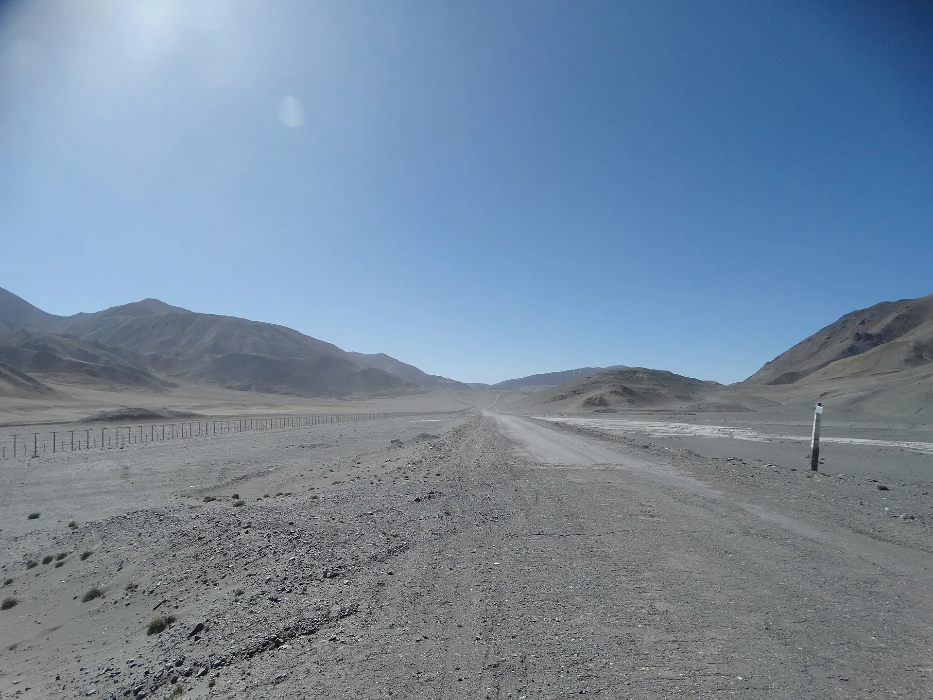
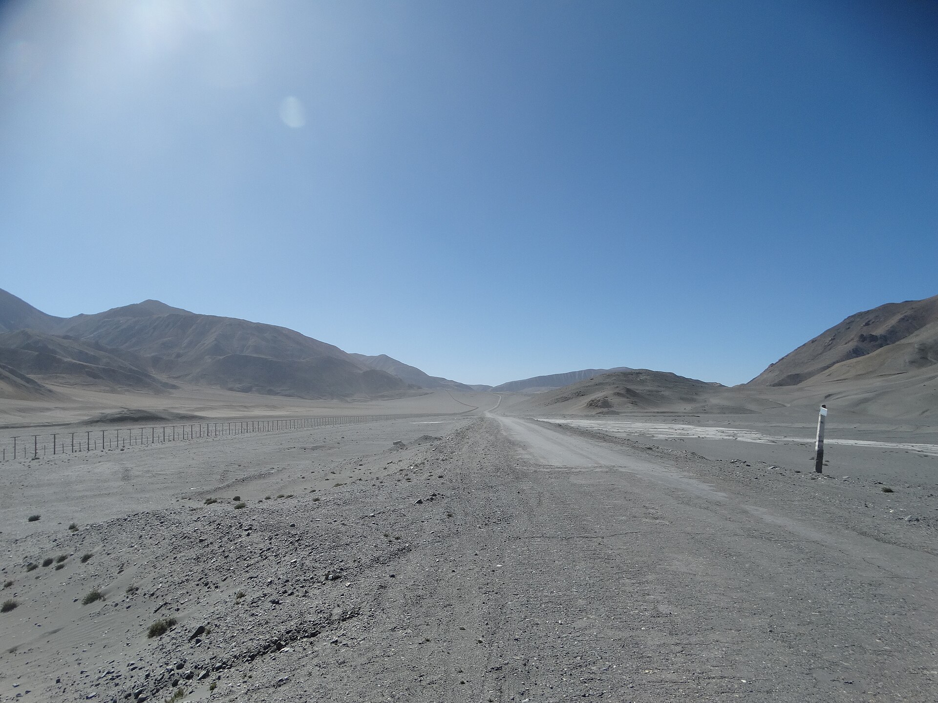
The Pamir Highway (M41) runs 1,200 kilometres from Dushanbe in Tajikistan to Osh in Kyrgyzstan, crossing the Pamir plateau at an average altitude of 3,500–4,600 metres — the second-highest road in the world after the Karakoram Highway. The Wakhan Corridor section runs along the Afghan border, with the Hindu Kush visible across the Panj River and Wakhi villages on both banks. The Murghab plateau north of Ishkashim is lunar in character: a flat, ochre-and-grey high-altitude desert ringed by 6,000-metre peaks, crossed by a road that was a Soviet military supply route. Karakul Lake, at 3,900 metres, reflects the surrounding mountains in deep blue-grey water. The combination of extreme altitude, border-edge geography, central Asian village life, and genuinely remote driving is found nowhere else on Earth.
10 practical tips to help you decide
These tips are designed to help you decide whether the Pamir Highway fits your time, budget, comfort level, and travel style.
-
For overland travellers, high-altitude road-trip photographers, and people who measure a journey by remoteness rather than comfort — not those who need smooth roads, predictable schedules, or consistent services. The Pamir Highway is genuinely challenging: rough roads, altitude sickness risk, limited fuel stops, basic homestay accommodation, and occasional border and permit complications. The visual and experiential reward is extraordinary. If you need reliability, this is not the right trip.
-
June to September for accessible passes and village homestays; July and August give the most reliable window. Most high passes on the M41 are open June to September; the Wakhan Corridor can open in May and stay accessible into October depending on conditions. October brings early snow to the highest sections. November to April, most of the route is impassable for non-specialist vehicles. Summer temperatures on the plateau reach 20–25°C in the day but drop below freezing at night — warm layers are essential year-round.
-
Fly into Dushanbe (DYU) or Osh (OSH) to anchor the route at either end. Dushanbe connects to Istanbul, Moscow, Dubai, and Delhi. Osh (Kyrgyzstan) connects to Bishkek and Almaty. Most travellers plan a one-way route (Dushanbe to Osh or reverse) rather than an out-and-back. Tajikistan issues e-visas at evisa.tj — apply before departure. A separate GBAO permit (Gorno-Badakhshan Autonomous Oblast) is required to travel the Pamir region and can be added during the e-visa application. Check the UK FCDO Tajikistan travel advice before booking.
-
Seven to ten days is the minimum for the full Dushanbe–Osh route; add days for the Wakhan Corridor. A direct M41 drive without stops takes 4–5 days. Seven days allows for acclimatisation, the Wakhan detour (an extra 2–3 days into the valley along the Afghan border), and Karakul Lake. Ten days is more comfortable, with time for hiking, village visits, and weather delays. The Wakhan Corridor is the most historically and visually dramatic addition — don’t skip it.
-
Arrange shared 4WD or hire a driver in Dushanbe rather than attempting independent driving. The M41 requires a capable 4WD, local knowledge of fuel availability, and experience with rough mountain roads. Most travellers hire a driver-guide from Dushanbe or use shared jeeps (marshrutka) on the main highway sections. Several reliable Dushanbe operators specialise in Pamir road trips. If self-driving, carry spare fuel (50+ litres), two spare tyres, and mechanical tools — roadside assistance does not exist at 4,000 metres.
-
The Pamir Highway is very affordable — your main costs are transport and basic accommodation. Homestay accommodation runs USD 10–20 per night including dinner and breakfast. Shared jeep transport Dushanbe–Osh runs approximately USD 50–80 per person for the full route. A private driver-guide costs USD 150–250 per day for the vehicle and driver. Total trip cost for 10 days including food, transport, and accommodation typically runs USD 500–900 per person excluding flights.
-
Read the FCDO advisory and verify the Afghan border situation before travel. The UK FCDO Tajikistan travel advice advises against all travel within 5 km of the Afghan border in some Tajik border regions and flags specific security concerns in the GBAO region. The Wakhan Corridor route runs close to the Afghan border — verify current advice and ask local operators about the situation. The general GBAO and Pamir Highway has been manageable for travellers, but conditions can shift.
-
Acclimatise in Dushanbe (760 m) or Ishkashim before reaching the Murghab plateau (3,600 m+). Altitude sickness is a real risk — the Pamir plateau is above 3,500 metres throughout, with multiple passes above 4,000 metres. Spend two nights in Ishkashim (2,600 m) before ascending to Murghab. Carry acetazolamide (Diamox) as a precaution after consulting your GP. Symptoms to watch: headache, nausea, shortness of breath, loss of appetite. If symptoms worsen, descend immediately — there are no altitude medical facilities on the plateau.
-
Karakul Lake and the Wakhan Corridor are the two unmissable route extensions. Karakul (3,914 m) is a high-altitude crater lake of deep blue-grey water beside the highway north of Murghab, with a small Kyrgyz village on its shore and Muztagh Ata (7,546 m) visible on the Chinese side. The Wakhan Corridor runs east along the Panj River into a deep valley where Wakhi villages are flanked by the Hindu Kush on the Afghan side and the Pamirs on the Tajik side — a landscape that looks almost unchanged from the time of Marco Polo’s transit through the same valley.
-
Combine with Kyrgyzstan’s Fergana Valley or Osh for a full Central Asian overland circuit. Osh is Kyrgyzstan’s second city and a natural endpoint for a northbound Pamir transit. From Osh, the Fergana Valley, Bishkek (12 hours by shared taxi), and onward to Kazakhstan or China are all accessible. A Dushanbe–Pamir–Osh–Bishkek circuit covers the heart of post-Soviet Central Asia in 3 to 4 weeks — one of the world’s great overland routes for travellers with the time and tolerance for the logistics.